What we do and why it matters?
We work with flow measurement and network modeling. Our purpose is to contribute to evidence-based understanding of how stormwater and wastewater systems function.
The stormwater and wastewater system in cities and towns consists of kilometers upon kilometers of buried pipes and manholes, pumps, and overflow structures. Planned, engineered, and built over many decades.
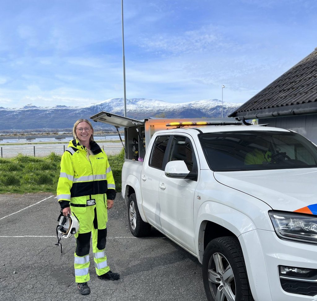
Ida — fieldwork in Sunnmøre
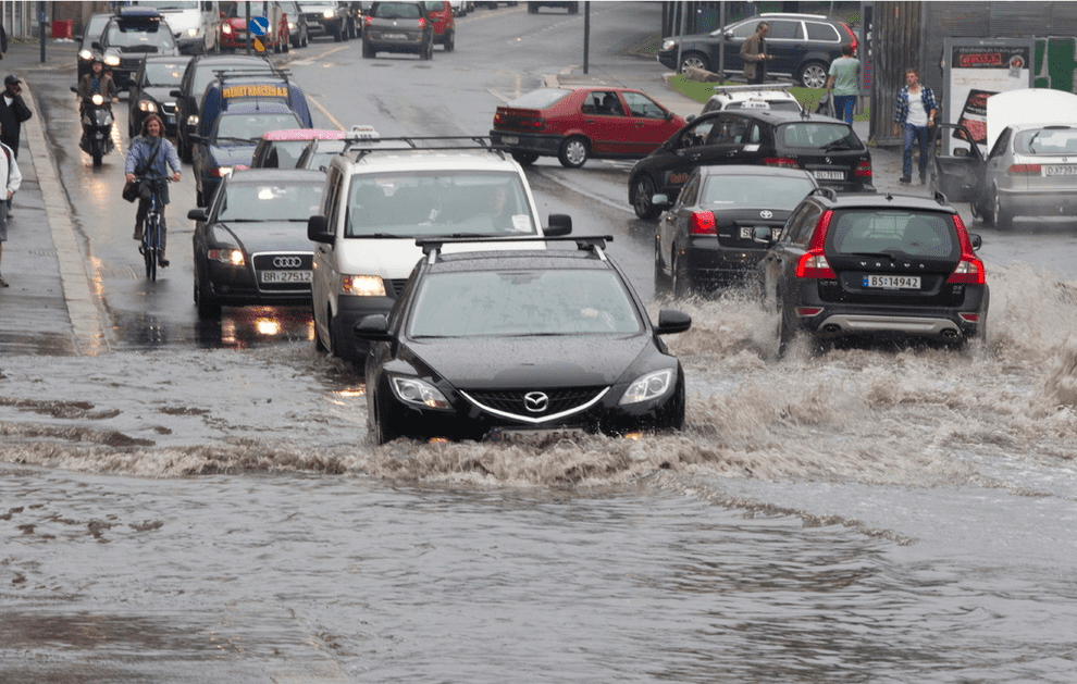
Stormwater and flooding after rainfall
As climate change brings higher rainfall intensities, storms exceeding the system’s original design capacity increase the risk of flooding and harm the aquatic environment, property, and public health.
We must, over time, plan for and adapt to changes in
climate, urban densification, and stricter regulatory requirements
Norsk Vann describes the investment needs and challenges here:
One of the responsibilities of network owners (utilities) is to identify and document effective solutions and measures during expansion, rehabilitation, and renewal.
An essential foundation is rainfall and flow data combined with model simulations. This provides evidence-based insight into inflow and infiltration, discharges from overflows, and bottlenecks in the sewer network.
Our starting point is a healthy aquatic environment and protecting society from flooding and flood damage.
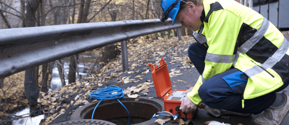
Flow measurement along the Akerselva, 2008
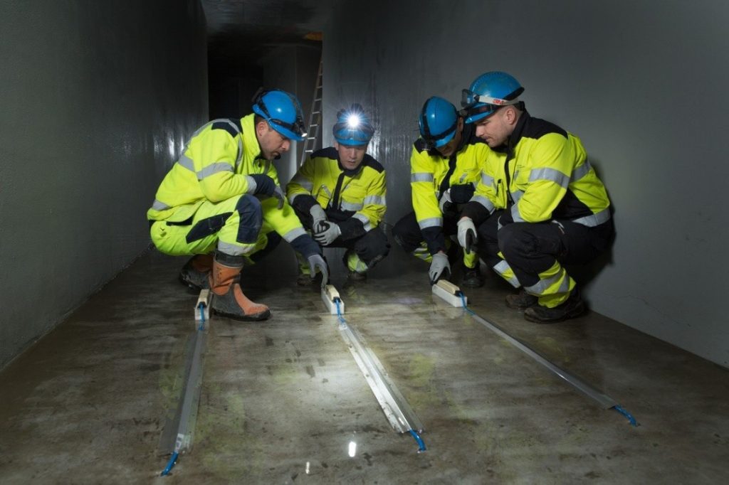
VAV and ROSIM inspecting the sensor installation, Midgardsormen, Oslo (2014).
Origin
ROSIM was founded in 1997 when Oslo’s Water and Sewerage Agency (VAV) set out to develop a calibrated stormwater and wastewater network model for the entire city. We have supported this work ever since.
Here you can read an article in Teknisk Ukeblad about how VAV uses the model:
FoU
We develop software and measurement technology to build, calibrate, maintain, and manage large, detailed, fully calibrated models for cities and urban areas.
We have eight developers working on:
- GIS functionality for model building
- Development of Smart Water/IoT solutions
- Time-series data management
Vi bidrar også inn i FoU prosjekter. Du kan lese om et av prosjektene, regnbyge3M, publisert i Norsk Vann bulletin. her:

Manufacturing of a rain-gauge cabinet at ROSIM’s facilities, 2017.
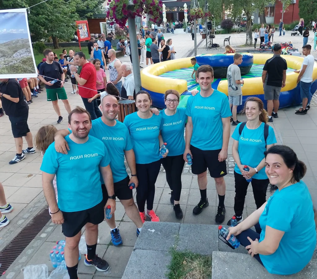
Active team members: Hristian, Vlatko, Juliana, Ljubica, Tino, Eleonora, Andrijana
Employees
ROSIM, together with its subsidiary, employs staff of five nationalities: Germany, Ukraine, Sweden, North Macedonia, and Norway.
We have a relatively good gender balance, and we also strive for diversity in age and expertise.
Diversity enables us to draw on the best of different experiences and cultures.
Leadership
We have extensive experience in the water and wastewater sector. We combine leadership with technical work—measurement and modeling projects, studies, R&D, and support.
Our motivation is to help develop skilled and satisfied people, with the aim of:
- safety and well-being for those working in the field and in the office
- to deliver market-leading services and products to our customers
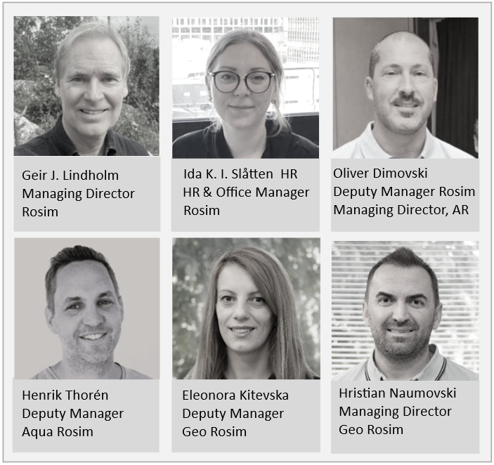
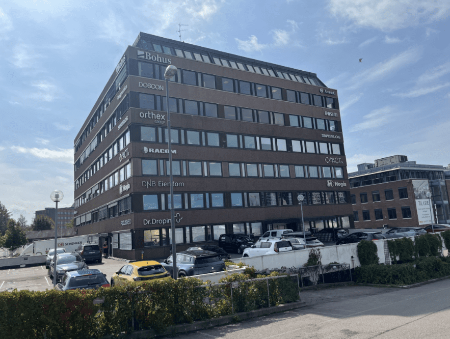
ROSIM office, Økern, Oslo
Rosim AS
ROSIM consists of ROSIM AS in Norway, Aqua ROSIM AB in Sweden, and Geo ROSIM DOOEL in North Macedonia. In total, we have 35 employees.
At our Økern, Oslo site, we have offices, field vehicles, a warehouse, a workshop, and a metering rig.
Geo Rosim Dooel
Drawing on our knowledge of the region and a desire for a stable, highly skilled workforce, we established an office in North Macedonia in 2015.
Our work here focuses on modeling and measurement engineering. We handle water- and wastewater-related tasks that require computer-science expertise—programming, time-series data management, and the use and development of Geographic Information Systems (GIS).
Geo ROSIM has been established as a subsidiary of Aqua ROSIM.
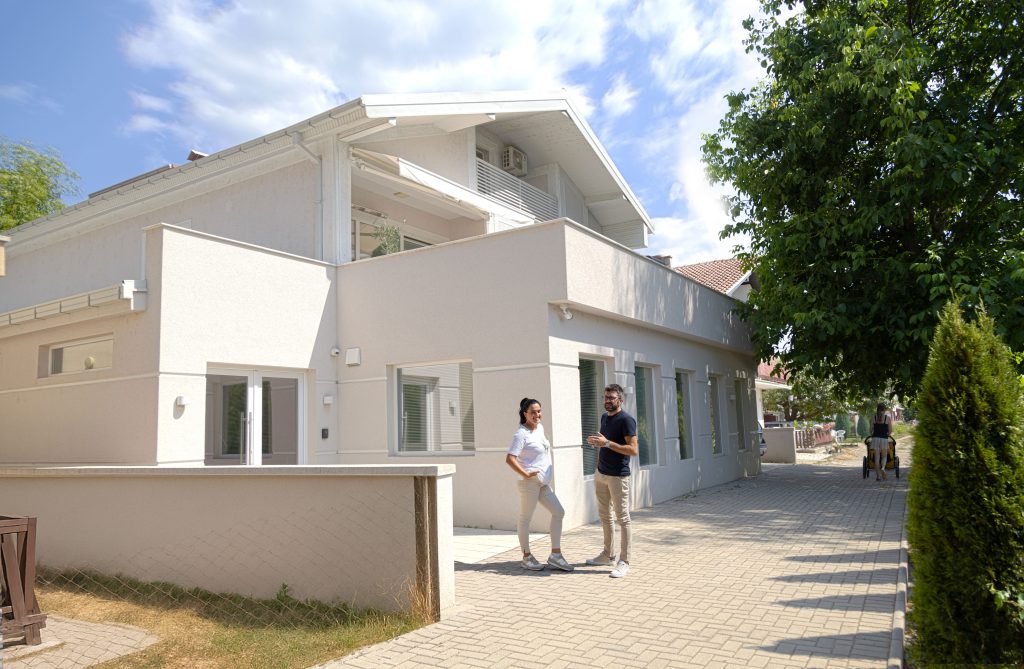
Geo ROSIM office — Andrijana and Goran, North Macedonia
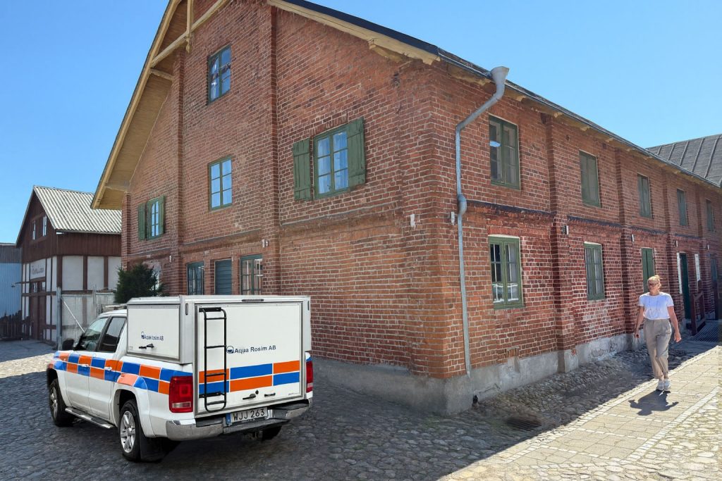
Aqua ROSIM office, Skurup, Skåne
Aqua Rosim AB
In 2017, we acquired the Swedish company VA-Fälttjänst AB. The company has since been renamed Aqua ROSIM AB.
With an office not far from Malmö and within easy reach of Zealand (Sjælland), we are strategically positioned to deliver services in both Sweden and Denmark.
Rainfall
We began developing regnbyge.no and rainfall data loggers with wireless telemetry in 2009. Since 2011, we have installed approximately 200 short-term rain gauges.
The rain gauges have a heated collector for year-round operation, and the vast majority transmit data to both met.no and regnbyge.no. They are also equipped with a temperature sensor to determine whether the precipitation is falling as rain or snow.
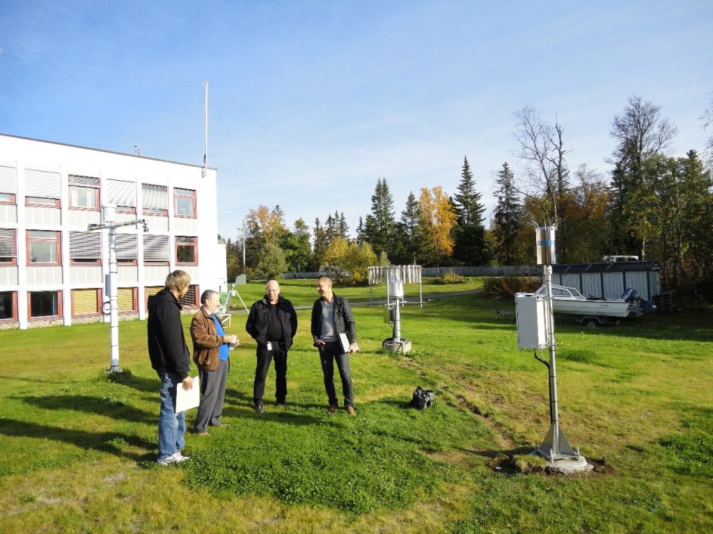
MET Norway (met.no), Tromsø Municipality, and ROSIM — rain gauge in MET Norway’s yard (Weather Forecasting for Northern Norway), 2011.
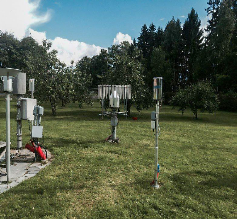
Rain gauge OSLO-BLINDERN PLU, deployed in the garden of the Norwegian Meteorological Institute, Blindern, 2019.
Rain gauge data are used for many purposes:
- IDF Curves for Design
- Documentation of rainfall intensity during flood events
- Calculation of inflow and infiltration, overflows, and capacity
The Norwegian Meteorological Institute (MET Norway) has published a guideline on the siting, equipment selection, operation, and maintenance of weather stations. You can find it here:
Flow rate
We measure flow, water level, and water quality with high accuracy, drawing on our own hands-on experience of what works in practice. we develop data loggers, measurement instruments, databases, and web interfaces.
We have Scandinavia’s largest fleet of high-accuracy NIVUS mobile cross-correlation flow meters. You can find a description of the difference between the cross-correlation and Doppler measurement principles here.
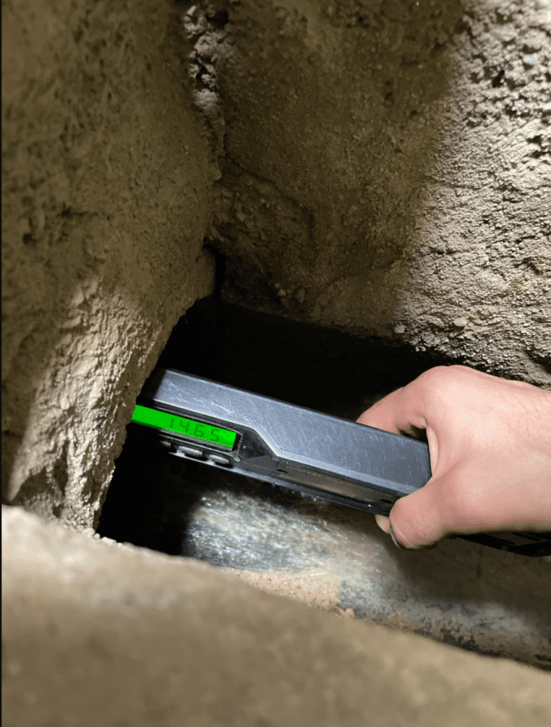
Measurement of pipe gradient
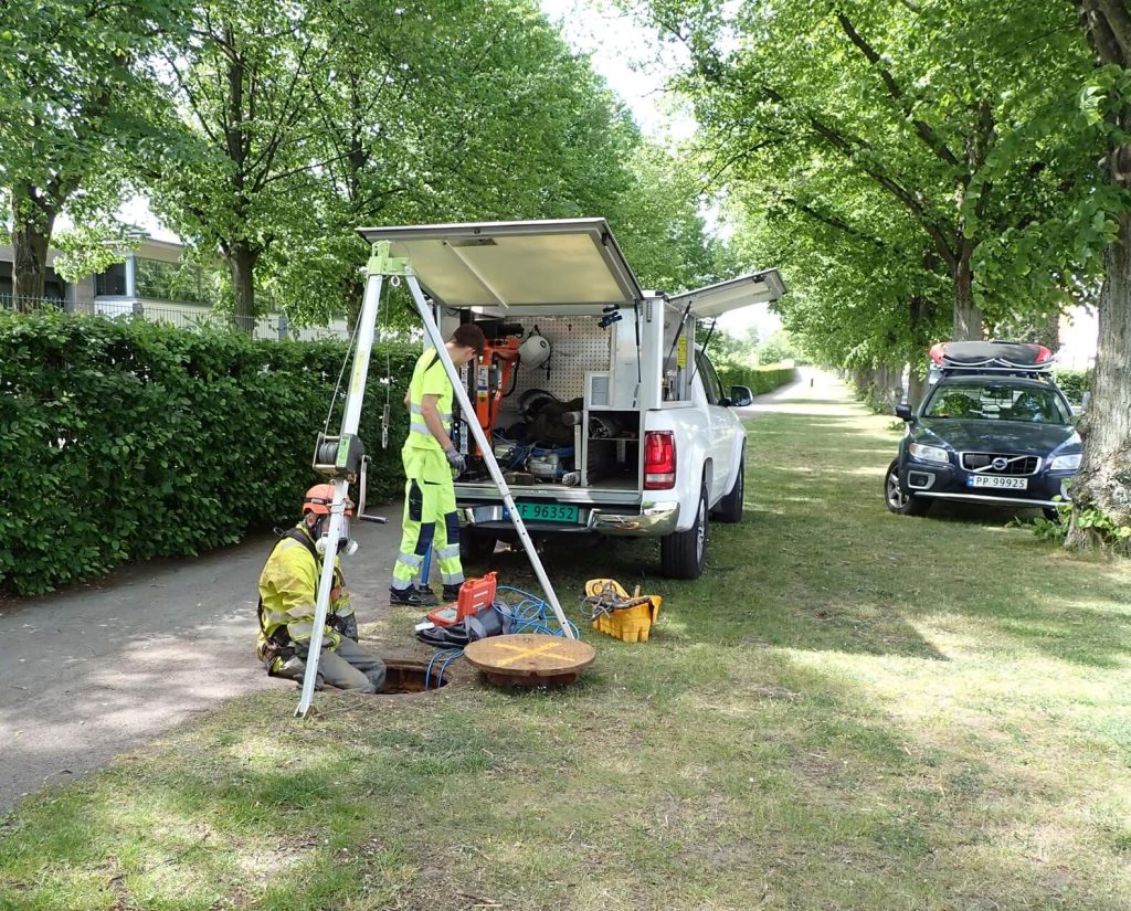
Flow measurement, Malmö (2019)
Our field team is on the road year-round. We have five specially equipped field vehicles with all the necessary gear for efficient and safe field work.
Over 28 years of performing flow measurements in sewer manholes and through many thousands of field installations, we have not had a single workplace accident.
By consistently putting health, safety, and the environment first, we aim to maintain this record.
In addition to flow and rainfall, we install and operate:
- Level sensors (ultrasonic, pressure, or radar)
- Turbidity, conductivity, pH, and temperature sensors
- Automatic carousel samplers for water sampling
We provide measurement services to a wide range of clients and facilities—municipal stormwater and wastewater systems, industrial sites, airports, landfills, mines, and road and rail tunnels.
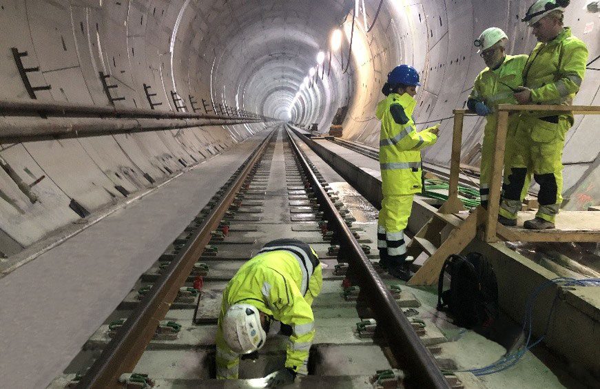
Blixtunnelen, Follobanen — seepage-water measurement, 2021
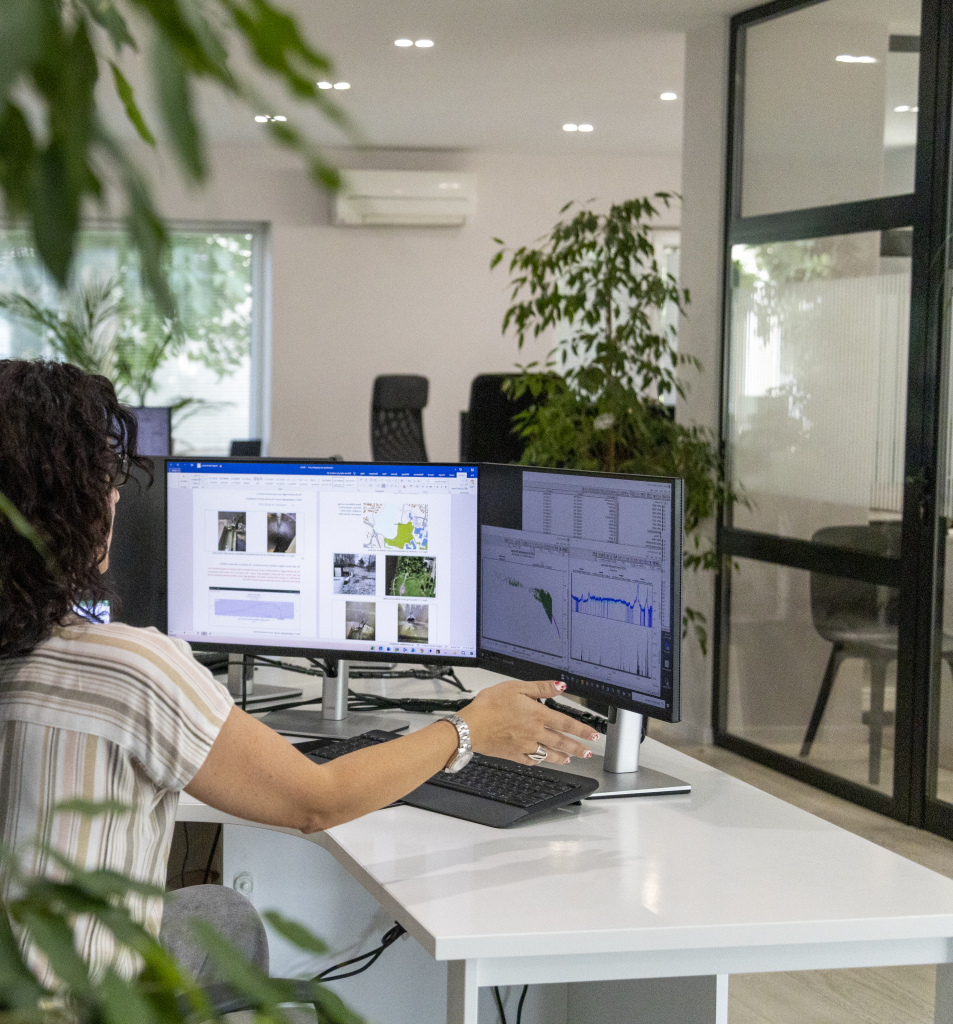
Data analysis — flow (discharge) and scatter plot, 2025.
All equipment is tested and calibrated in the metering rig before installation. In addition to the work carried out in the rig and in the field, essential office-based work is required to achieve high accuracy and data quality. This includes:
- Continuous quality assurance
- Operations follow-up planning
- Data analysis and documentation
We have a dedicated department responsible for follow-up of measurement data.
Modelling
Models are built and developed over many years in collaboration with the client. The models are typically used in connection with developments, engineering design, and rehabilitation and master plans. Here you can read about a municipality that is at the forefront of modeling:
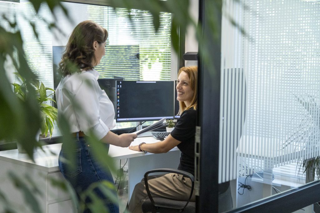
Modelling Department, 2025
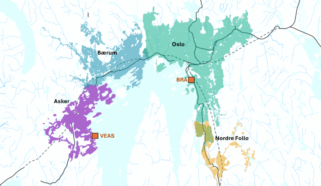
Catchment areas for VEAS and BRA — Nordre Follo, Oslo, Bærum, and Asker
From Bunnefjorden to Vestfjorden runs a wastewater tunnel system that conveys flows to VEAS and the Bekkelaget wastewater treatment plant (BRA), serving more than one million residents.
Since 1997, we have helped build, maintain, and manage models for this catchment area.
The models are calibrated against more than 800 flow-measurement points. There are 45 permanent rain gauges in the area. The models comprise 110,000 stormwater, wastewater (sanitary), and combined sewer pipes with a total length of 5,000 km.
 NO
NO
 SE
SE